Welcome to Beau’s Weather Blog 2.0! The new and improved weather blog. There have been a lot of people ask me what happened to the old blog. Some people don’t use Facebook and would rather read a blog. I was never happy with the layout of the old blog. IVS has spent quite a bit of time developing this blog. The project started over the summer and is now ready for launch.
The flow of the blog will be the same each day. It is easy to understand, easy to find the topic that might concern you or your family, and easy to share with others (see the SHARE THIS button on the top of each post).
You will be able to quickly find the latest forecast, forecast analysis, severe weather outlooks, winter storm outlooks, and much more.
Occasionally you will find educational postings. These posts might be about a recent tornado outbreak, winter storm summaries, or why a forecast verified or didn’t verify.
You have the ability to ask questions at the bottom of each blog post. You can check out my social media feeds (along with the Paducah, Kentucky National Weather Service Twitter feed).
There is an option to subscribe to the blog (right hand side of the page and bottom of the page). You will receive an email notification each time I update the page.
I have added a map that shows you what counties my forecast covers. I sometimes touch on counties immediately outside of the map. The coverage map can be found on the right side of the page along with the county names.
You will find options to visit my Google+ page, Twitter page, Facebook page, and more.
There is also the option to watch WeatherBrains (a weekly show for weather enthusiasts). That can be found at the bottom of each blog post – on the right hand side of the page.
Explore the blog. I think you will find a lot of useful links and information.

November 1, 2014: This forecast update covers far southern Illinois, far southeast Missouri, and far western Kentucky. See the coverage map on the right side of the blog.
Saturday – Chilly with mostly sunny sky conditions – a few clouds possible over far eastern counties. Northerly winds at 5-15 mph.
Saturday night – Mostly clear and frosty. Plenty of stars. Chilly with well below normal temperatures. Lows will be in the middle to upper 20’s. Winds becoming calm.
Sunday – Mostly sunny during the morning hours. An increase in clouds during the afternoon. Below normal temperatures. Highs will be in the 50-55 degree range. Winds becoming southerly at 5-10 mph.
Morning Church Service Weather – 9 am temperatures will be in the 32-36 degree range. Mostly sunny sky conditions.
Sunday night – A few clouds, otherwise clear sky conditions. Cool. Low temperatures will be in the 34-38 degree range. Southerly winds at 5-10 mph.
Sunday Evening Church Service Weather – A few clouds. Temperatures will be around 50 degrees.
Monday – Mostly sunny. Milder than recent days. High temperatures will be around 60-64 degrees. South/southwest winds at 5-15 mph.
Morning School Bus Stop Weather – Mostly sunny and cool. Morning temperatures around 35-38 degrees.
Afternoon School Bus Stop Weather – Mostly sunny with temperatures around 62 degrees.
The 24 Hour Frost Forecast

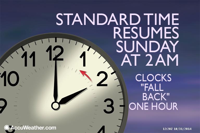
Also, don’t forget to change the batteries in your smoke detector and weather radios on Saturday night.


An explanation of what is happening in the atmosphere…
High pressure has settled over the region. This means mostly sunny sky conditions will be the rule for today. There may be a few clouds remaining over our far eastern counties. These clouds should, however, move off the east as the day wears on.
It will be clear and cold tonight as high pressure will be centered over our region. High pressure in the fall and winter typically means clear sky conditions, calm winds, and cold temperatures. That will be the case tonight. Temperatures will fall into the 20’s over most of the area. Frost and/or freeze conditions will occur by late tonight into Sunday morning.
Here is the NAM model showing the area of high pressure settling over our region. Check out the snow to our east! Portions of eastern Kentucky received snow overnight. This will continue into the early afternoon hours.

If you have sensitive plants then you may want to keep them covered up at least one more night.
To get you in the mood for snowflakes – here is a photograph posted on www.Wunderground.com on Friday. This photograph was taken in Fair Oaks, Indiana. Not the best night for trick or treating. Brrr

Here is the current temperature map.

Satellite view showing where clouds are located


Main concern will be freezing temperatures tonight into Sunday morning. Expect quite a bit of frost in the area. Temperatures should be below freezing for a number of hours tonight into early Sunday morning. If you have sensitive plants then you may still need to keep them covered and protected. Temperatures won’t be as cold on Sunday night and Monday morning.

The Wild Card gives you an idea of what might change that would cause the forecast to bust. A busted forecast means a forecast that does not verify. For example, if a winter storm (the area of low pressure) shifts its track 50 miles further south than expected, then that could cause a dramatic change in how much snow might or might not accumulate.
The wild card in this forecast will be low temperatures on Sunday morning. Some areas may dip into the lower to middle 20’s. Right now it appears that most areas will be in the middle to upper 20’s. Some favored cold spots could be colder.

Can we expect severe thunderstorms over the next 24 to 48 hours? Remember that a severe thunderstorm is defined as a thunderstorm that produces 58 mph winds or higher, quarter size hail or larger, and/or a tornado.
Severe weather is not going to be a concern through Monday.
Thunderstorm threat level is zero.


Please visit your local National Weather Service Office by clicking here. The National Weather Service Office, for our region, is located in Paducah, Kentucky.
![]()
We have regional radars and local city radars – if a radar does not update then try another one. Occasional browsers need their cache cleared. You may also try restarting your browser. That usually fixes the problem. Occasionally we do have a radar go down. That is why I have duplicates. Thus, if one fails then try another one.
If you have any problems then please send me an email beaudodson@usawx.com
WEATHER RADAR PAGE – Click here —
We also have a new national interactive radar – you can view that radar by clicking here.
Local interactive city radars include St Louis, Mt Vernon, Evansville, Poplar Bluff, Cape Girardeau, Marion, Paducah, Hopkinsville, Memphis, Nashville, Dyersburg, and all of eastern Kentucky – these are interactive radars. Local city radars – click here

Regional Radar – Click on radar to take you our full radar page.


Regional Radar

Current WARNINGS (a warning means action may be required). Click on your county to drill down to the latest warning information. Keep in mind that there can be a 2-3 minute delay in the updated warning information.
I strongly encourage you to use a NOAA Weather Radio or a cell phone weather warning app for the most up to date warning information. Nothing is faster than a NOAA weather radio.

Missouri Warnings

Illinois Warnings

Kentucky Warnings


I have added a lot of new maps to the Southern Illinois Weather Observatory web-site. Check them out by clicking here.

Rain is not expected over the next 24-48 hours.

A cold front will approach our region on Tuesday. This front will bring a few showers to the region. Right now it does not appear that heavy rain or severe weather will be a concern. We may experience one or two rumbles of thunder, along the cold front. Even that is questionable. Rainfall totals will likely be in the 0.25″-0.65″ range for most most of the region. Can’t rule out the chance for a bit more than that over portions of southeast Missouri and southern Illinois.
Here on the GFS model you can see precipitation along the cold front (second graphic). The green and blue colored areas represent precipitation (rain). High pressure will build back into the region behind the cold front. This will be followed by yet another cold front towards the middle/end of the week. This will bring another round of below normal temperatures.
Temperatures will warm up ahead of the cold front on Monday and Tuesday. They will then fall behind the front.


GFS Model showing the advancing cold front on Tuesday.
Check out the temperature map for Tuesday – see how the system pulls the warm air northward into our region? Remember that when an area of low pressure passes to our north/northwest that it pulls moisture and warmer air northward. This is because the area of low pressure rotates counter-clockwise. Once a storm system moves to our northeast it pulls cooler air down behind it – again because it is rotating counter-clockwise.

GFS Temperature map for Tuesday. See the nose of warm air nudging northward into our area (the yellow and orange colors)
Here is the temperature map for next Friday morning – another shot of below normal temperatures.

At this time I don’t see any severe weather threats for our region. Keep in mind that November can produce severe thunderstorms and tornadoes. Tornadoes in the fall are particularly dangerous and deadly because people are caught off guard. We expect tornadoes during the spring months, but not in the fall months. The reality is that tornadoes are common during the fall months.

What is freezing fog?
Good question! Freezing fog is simply fog that forms while temperatures are below freezing. During the fall and winter months this can cause bridges and overpasses to become slick and hazardous. If the fog is thick enough then problems can also occur on other roads.
Remember when you drive through thick fog that you often times will notice small water droplets on your windshield. Freezing fog is more dangerous when temperatures have been well below freezing during the overnight hours. Always use caution when fog forms when temperatures are at or below freezing.
Current tower cam view from the Weather Observatory- Click here for all cameras.

Southern Illinois Weather Observatory
WPSD TV 6 has a number of tower cameras. Click here for their tower camera page
& Kentucky Road Conditions & Kentucky Highway and Interstate Cameras

Downtown Paducah, Kentucky
Benton, Kentucky Tower Camera – Click here for full view

Benton, Kentucky
WSIL TV 3 has a number of tower cameras. Click here for their tower camera page
& Illinois Road Conditions

Marion, Illinois

You can sign up for my AWARE email by clicking here I typically send out AWARE emails before severe weather, winter storms, or other active weather situations. I do not email watches or warnings. The emails are a basic “heads up” concerning incoming weather conditions.