

This forecast update covers far southern Illinois, far southeast Missouri, and far western Kentucky. See the coverage map on the right side of the blog.
Sunday – Cloudy and cold. Well below normal temperatures. Highs will be in the upper 30’s and lower 40’s. Northeast winds at 5-10 mph.
Sunday Night – Partly cloudy and chilly. Low temperatures will be in the upper 20’s and lower 30’s. Northeast winds at 5 mph.
Monday – Becoming cloudy with a small chance for a shower. Below normal temperatures with highs in the upper 40’s and lower 50’s. Southeast winds at 5-10 mph.
Monday night – Partly cloudy and chilly. Low temperatures from 28 to 34 degrees. West winds at 10 mph.
Tuesday – Partly sunny. Cold with well below normal temperatures. Highs will be in the upper 30’s and lower 40’s. Northwest winds at 10-15 mph.

An explanation of what is happening in the atmosphere over the coming days.
Short update because I am moving today (remember I am in Chicago for a few months – moving to my more permanent apartment).
COLD WEEK AHEAD! You heard it here first – well you heard it here all last week that the models would be wrong (they kept showing a WARM week ahead). Sometimes you have to throw the models away and actually look at the bigger picture.
Most of this week will bring colder than normal weather conditions. The cold weather won’t help us in the snow department. But, at least it will feel like December.
I keep watching for the next big winter weather event. It is not currently on my radar. I do think we have decent odds this year for wintry weather around Christmas. Time will tell.
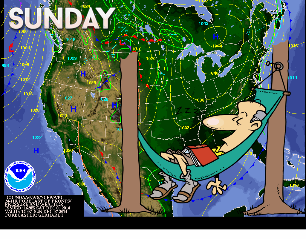

Cold temperatures, but no snow events.
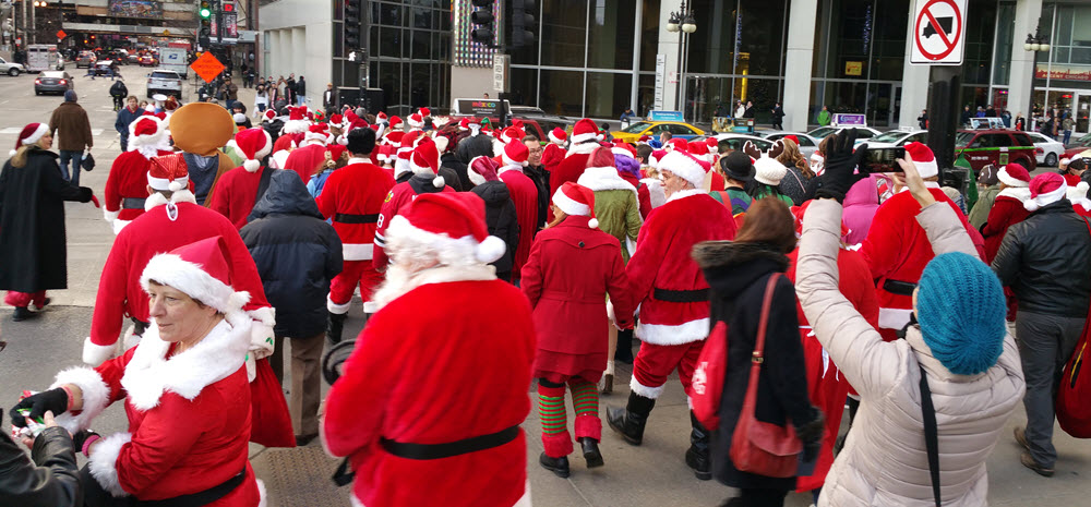
By the way – while I was out in Chicago yesterday I ran across this. I report and you decide.
Many of my graphics are from www.weatherbell.com – a great resource for weather data, model data, and more


This blog was inspired by ABC 33/40’s Alabama Weather Blog – view their blog
Current tower cam view from the Weather Observatory- Click here for all cameras.

Southern Illinois Weather Observatory

The Weather Observatory

Southern Illinois Weather Observatory
WSIL TV 3 has a number of tower cameras. Click here for their tower camera page & Illinois Road Conditions

Marion, Illinois
WPSD TV 6 has a number of tower cameras. Click here for their tower camera page & Kentucky Road Conditions & Kentucky Highway and Interstate Cameras

Downtown Paducah, Kentucky
Benton, Kentucky Tower Camera – Click here for full view

Benton, Kentucky

I24 Paducah, Kentucky

I24 Mile Point 9 – Paducah, KY

I24 – Mile Point 3 Paducah, Kentucky