October 26, 2019. October 21, 2019.
The greatest concern will be locally heavy rain, high gradient winds, and perhaps isolated tornadoes.
BEGIN LIVE BLOG
.

Live lightning data: Click here.

Radar Link: Interactive local city-view radars & regional radars.
.
County Maps: Click Here
County directions.
Click the image to enlarge it.

.
.
FACEBOOK Q&A LINK
CLICK HERE
.
Live-interactive radars: Click here
Regional radar link: Click here
.
Live lightning data: Click here.
.
Additional storm tracking tools can be found at the bottom of the page.
.
** Updated information will be posted UNDERNEATH the KEY MESSAGE. **
.
Saturday, October 26, 2019
** Locally heavy rain today into this evening. Strong gusty winds are possible (esp if the sun comes out) **
I am monitoring the tornado threat. Lower confidence in that portion of the forecast.
.
I will keep this page updated with fresh information. Updated information can be found underneath the key message. Look at the time-stamps.
- Make sure your app is on. Make sure you have not logged out. Check it, now.
- Use the app vs text. Texts can be slowed by Verizon/ATT/other phone companies. The app is faster in receiving messages.
- Don’t have the app? Go to the app store. Search WeatherTalk. Download app. Enter the phone number. Enter code. That is it.
.
KEY MESSAGE
- Try your best to use the Beau Dodson Weather App (vs the texts. The app receives the same messages but instantly. Search WeatherTalk in the app store.
- The remnants of a tropical storm will move northward along the Mississippi River today. This will bring widespread rain into the region.
- If the sun comes out then gradient winds will be a concern. That would be winds mixing down from several thousand feed aloft. Gradient winds can top 50 mph.
- There is a question about the chance of isolated short-lived tornadoes. Tropical systems can sometimes produce tornadoes.
- A widespread one to three inches of rain is anticipated. Locally much higher totals could occur.
- There will likely be a dry slot somewhere in the region. The dry slot would shut rains down early. The track of the area of low pressure will be key to where the dry slot tracks.
- The dry slot is also where sunshine is most likely. Thus, the gradient winds are stronger in the dry slot.
.
3:12 PM
Muhlenberg County. Storms approaching from the south over the next 30 to 60 minutes could produce spotty wind gusts above 50 mph.
Wind damage is possible even outside of thunderstorms.
There is a thin line of storms extending from SW Indiana down into western Tennessee. Winds along the line could gust above 50 mph.
Gradient winds, because of the deep area of low pressure, could also gust above 50 mph.
3:10 PM
BULLETIN – IMMEDIATE BROADCAST REQUESTED
Severe Thunderstorm Warning
National Weather Service Paducah KY
305 PM CDT Sat Oct 26 2019
The National Weather Service in Paducah has issued a
* Severe Thunderstorm Warning for…
Southeastern Christian County in south central Kentucky…
Todd County in south central Kentucky…
* Until 345 PM CDT.
* At 305 PM CDT, a severe thunderstorm was located near Clarksville,
moving northeast at 65 mph.
HAZARD…60 mph wind gusts.
SOURCE…Radar indicated.
Afternoon update
Once the line passed through the area there will still be some showers. Gusty winds are possible because of the low pressure center moving northward through Illinois.
Winds inside and near the line could gust above 55 mph.
A tight pressure gradient can produce winds above 45 mph.
1:47

12:20 pm
A thin line of storms has formed in west KY and west TN. It will rapidly move NNE.
High winds will accompany the line.
Radars
http://weatherobservatory.com/weather-radar.htm
11 AM
I am watching these storms in Tennessee.

.
Later today. We will just have to see if strong winds can mix down. Very strong winds at 5000 feet. Nearing 90 mph which is incredible for that height.
We would be looking at 40 to 55 mph gusts if the winds do mix down.
Not sure they do. It is something to monitor.


11 AM
NWS issues Areal Flood Warning for Bollinger, Cape Girardeau, Mississippi, New Madrid, Perry, Scott, Stoddard [MO] and Alexander, Jackson, Pulaski, Union [IL] till 3:45 PM CDT
NWS issues Flood Warning valid at Oct 27, 7:00 PM CDT for the Skillet Fork River at Wayne City [IL] till Oct 28, 1:00 PM CDT
NWS issues Areal Flood Advisory for Ballard, Carlisle, Fulton, Graves, Hickman, McCracken [KY] and Alexander, Massac [IL] till 2:15 PM CDT
NWS issues Areal Flood Advisory for Edwards, Wabash, Wayne, White [IL] and Gibson, Posey, Vanderburgh [IN] till 2:45 PM CDT
10 AM
We will need to watch this area of low pressure as it moves northward later today.
High winds are possible on the east/southeast side of the low.
Winds could top 40 mph.
The Hrrr model shows this well. Not sure we reach these speeds but it is not out of the question.
Click to enlarge.

9:45 AM
The BAMwx team issued a video. This covers The Ohio Valley.
8 AM
NWS issues Wind Advisory valid at Oct 26, 11:00 AM CDT for Caldwell, Christian, Crittenden, Daviess, Henderson, Hopkins, Lyon, McLean, Muhlenberg, Todd, Trigg, Union, Webster [KY] and Edwards, Gallatin, Hardin, Wabash, White [IL] and Gibson, Pike, Posey, Spencer, Vanderburgh, Warrick [IN] till Oct 26, 7:00 PM CDT
NWS issues Areal Flood Advisory for Bollinger, Cape Girardeau, Mississippi, New Madrid, Perry, Scott, Stoddard [MO] and Alexander, Jackson, Pulaski, Union [IL] till 10:00 AM CDT
NWS issues Areal Flood Advisory for Ballard, Carlisle, Fulton, Graves, Hickman, McCracken [KY] and Alexander, Massac [IL] till 10:15 AM CDT
Saturday, October 26, 2019
A few items to monitor today.
The remnants of a Gulf of Mexico tropical storm will pass directly over our region.
Here is the track of Olga.

.
Heavy rain will be the end result. Strong and gusty wind will also be possible because of the tight pressure gradient.
If the sun comes out today then the chance of high winds will dramatically increase. Winds would top 50 mph. Whether the sun comes out today remains a question.
Tropical storms can produce isolated short-lived tornadoes. Winds aloft today will be very strong. At the 5000′ foot level we are looking at 80 to 90 mph winds. That is strong.
If CAPE develops today then the chance of thunderstorms will increase. CAPE is instability. Usually, not always, you need some sunshine for CAPE to develop. I will be monitoring radar and satellite.
The main concern today is going to be widespread rain. Some commonly flooded roads may have issues.
Exact rain totals county by county will be difficult to forecast because of the potential dry slot. A rain-free area that often accompanies areas of low pressure.
I am forecasting a widespread one to three inch rain event with pockets of higher totals possible. Some roads may flood.
Notice the wind highest wind gusts are east of the low. Those yellow colors. The low is near Paducah on this particular model.
The track of the low is KEY to strong and gusty winds.
Hrrr model. 2 PM wind gust map. This is highly dependent on the track of the low pressure center.

.
Hrrr future-cast radar. Notice the red L. That is the area of low pressure. That would be Olga. One models opinion on track.
I do believe it will be close to this.

.
NAM model guidance rain totals.

.
WPC/NOAA rain totals.

.
Let’s take a look at what the Storm Prediction Center is saying.
Today’s SPC severe weather outlook (below).
Light green is where thunderstorms may occur but should be below severe levels.
Dark green is a level one risk. Yellow is a level two risk. Orange is a level three (enhanced) risk. Red is a level four (moderate) risk. Pink is a level five (high) risk.
One is the lowest risk. Five is the highest risk.
Light green is not assigned a number. Light green is where storms may occur but should be below severe levels.
A severe storm is one that produces 60 mph winds or higher, quarter size hail, and/or a tornado. One or more of those is defined as a severe thunderstorm.
Keep in mind, this will be a moving outlook. The dark green and yellow colors will shift east/northeast with time.
.

.
And then after 3 AM tonight. Notice how the threat has shifted into our region.

.
The BAMwx team has put out this video for Illinois and the Ohio Valley.
.
STORM TRACKING TOOLS
Interactive city-view radars
http://weatherobservatory.com/weather-radar.htm
Clickable watches and warnings can be viewed on the local city-view interactive radars (link above). Be sure and turn on the warnings above the local radars.
A new regional radar we offer
https://imagery.weathertalk.com/prx/RadarLoop.mp4
Lightning data
https://wtalk.co/7QT7WHKU
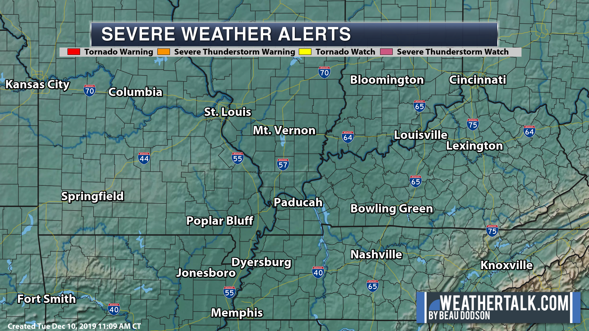
Watches/warnings
https://imagery.weathertalk.com/prx/SevereAlerts.png
Infrared satellite
https://imagery.weathertalk.com/prx/IRSatelliteLoop.mp4
Visible satellite
https://imagery.weathertalk.com/prx/GeocolorSatelliteLoop.mp4
Current conditions
https://imagery.weathertalk.com/prx/CurrentConditions.png
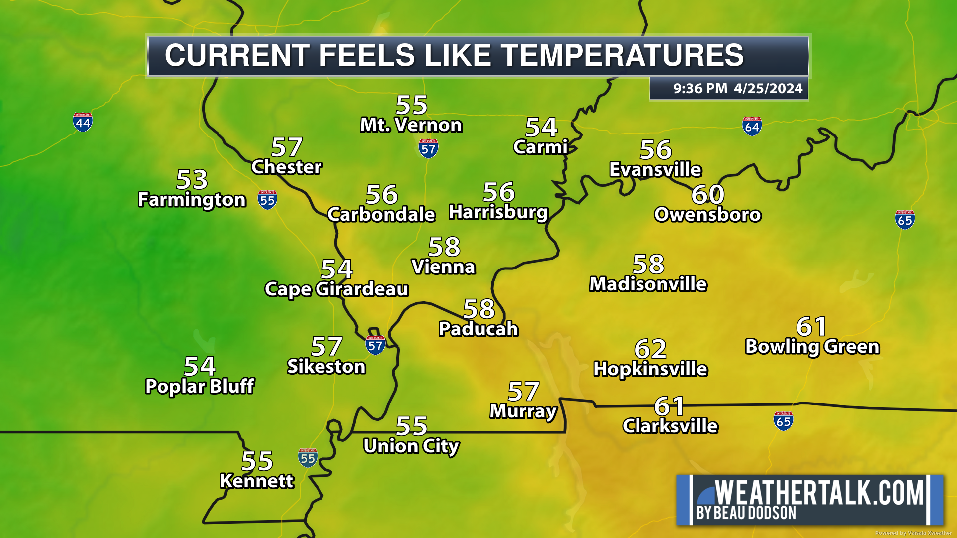
Current heat index or wind chill
https://imagery.weathertalk.com/prx/CurrentFeelsLike.png
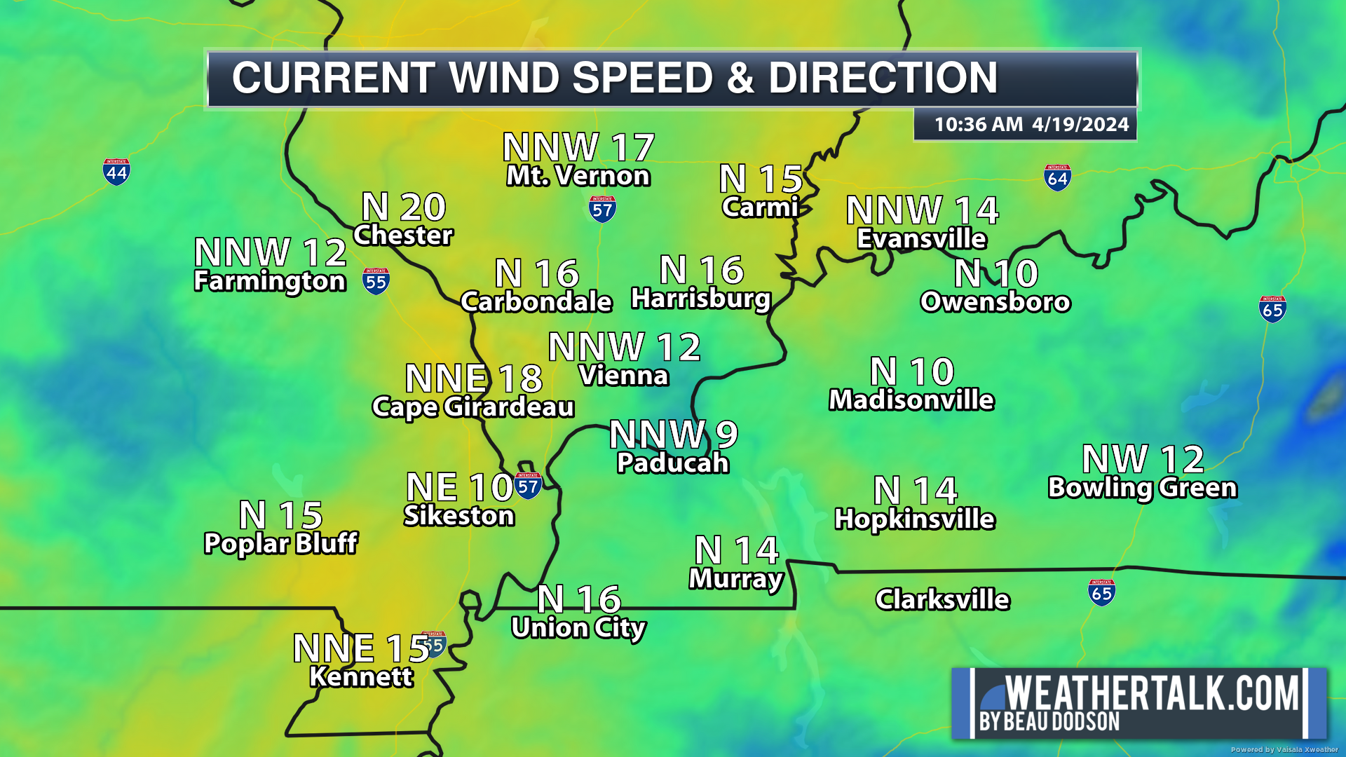
Wind speed
https://imagery.weathertalk.com/prx/CurrentWindSpeed.png
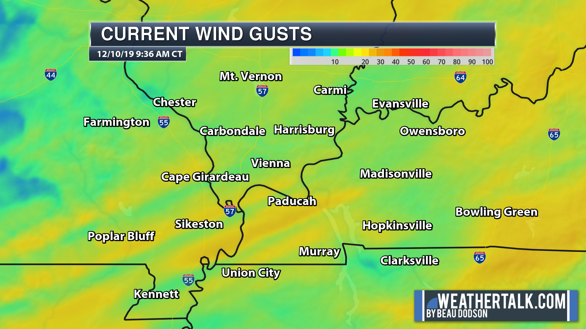
Wind gust
https://imagery.weathertalk.com/prx/CurrentWindGust.png
Beau Dodson Weather App!
Have you downloaded the Beau Dodson Weather app?
Move to the app and do not depend on the text messages. The app receives the exact same messages but faster.
ATT and Verizon have been throttling the speed of texts.
The app receives them instantly.
Apple users: Beau Dodson Weather App
https://itunes.apple.com/us/app/id1190136514
Android users: Beau Dodson Weather App
https://play.google.com/store/apps/details?id=com.weathertalk.beaudodsonweather.android
..
Not receiving app/text messages?
Make sure you have the correct app/text options turned on. Find those under the personal notification settings tab at www.weathertalk.com. Red is off. Green is on.
Subscribers, PLEASE USE THE APP. ATT and Verizon are not reliable during severe weather. They are delaying text messages.
The app is under Beau Dodson Weather in the app store.

Apple users click here

Android users click here
.

.

.
.
Today’s outlook (below).
Light green is where thunderstorms may occur but should be below severe levels.
Dark green is a level one risk. Yellow is a level two risk. Orange is a level three (enhanced) risk. Red is a level four (moderate) risk. Pink is a level five (high) risk.
One is the lowest risk. Five is the highest risk.
Light green is not assigned a number. Light green is where storms may occur but should be below severe levels.
A severe storm is one that produces 60 mph winds or higher, quarter size hail, and/or a tornado. One or more of those is defined as a severe thunderstorm.

The black outline is our local area.
.
Tomorrow’s outlook.
Light green is where thunderstorms may occur but should be below severe levels.
Dark green is a level one risk. Yellow is a level two risk. Orange is a level three (enhanced) risk. Red is a level four (moderate) risk. Pink is a level five (high) risk.
One is the lowest risk. Five is the highest risk. Light green is not assigned a number.

.
.
Here is the latest graphic from the WPC/NOAA.
24-hour precipitation outlook.
.

.
48-hour precipitation outlook.
.
.
.
72-hour precipitation outlook.
.

.
Days one through seven added together. Seven-day rainfall totals.

.
Radar Link: Interactive local city-view radars & regional radars.
You will find clickable warning and advisory buttons on the local city-view radars.
If the radar is not updating then try another one. If a radar does not appear to be refreshing then hit Ctrl F5. You may also try restarting your browser.
Not working? Email me at beaudodson@usawx.com
National map of weather watches and warnings. Click here.
Storm Prediction Center. Click here.
Weather Prediction Center. Click here.
.
Live lightning data: Click here.
.

Interactive GOES R satellite. Track clouds. Click here.
GOES 16 slider tool. Click here.
College of Dupage satellites. Click here
.

Here are the latest local river stage forecast numbers Click Here.
Here are the latest lake stage forecast numbers for Kentucky Lake and Lake Barkley Click Here.
.
Did you know that you can find me on Twitter? Click here to view my Twitter weather account.

.

.
Who do you trust for your weather information and who holds them accountable?
I have studied the weather in our region since the late 1970s. I have 40 years of experience in observing our regions weather patterns.
My degree is in Broadcast Meteorology from Mississippi State University and a Bachelor of Science (BS).
I am an NOAA Weather-Ready Nation Ambassador. I am the Meteorologist for McCracken County rescue squad. When asked, I assist Ballard and Massac Counties, as well.
I own and operate the Southern Illinois Weather Observatory and WeatherTalk LLC.
There is a lot of noise on the internet. Over time you should learn who to trust for your weather information.
My forecast philosophy is simple and straight forward.
- Communicate in simple terms
- To be as accurate as possible within a reasonable time frame before an event
- Interact with you on Twitter, Facebook, and the blog
- Minimize the “hype” that you might see on television or through other weather sources
- Push you towards utilizing wall-to-wall LOCAL TV coverage during severe weather events
I am a recipient of the Mark Trail Award, WPSD Six Who Make A Difference Award, Kentucky Colonel, and the Caesar J. Fiamma” Award from the American Red Cross.
In 2009 I was presented with the Kentucky Office of Highway Safety Award.
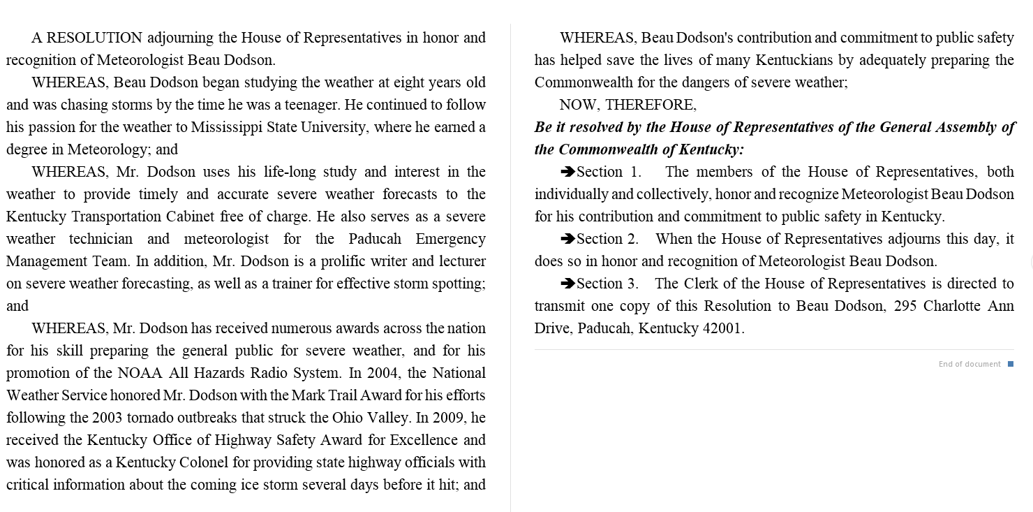
I was recognized by the Kentucky House of Representatives for my service to the State of Kentucky leading up to several winter storms and severe weather outbreaks.
If you click on the image below you can read the Kentucky House of Representatives Resolution.
.
.
Previous episodes can be viewed by clicking here.
.
Find Beau on Facebook! Click the banner.

.
Find Beau on Twitter! Share your weather photos! @beaudodson

.
Did you know that a portion of your monthly subscription helps support local charity projects? Not a subscriber? Becoming one at www.weathertalk.com
You can learn more about those projects by visiting the Shadow Angel Foundation website and the Beau Dodson News website.
