Just a quick Saturday update.
No significant weather concerns through the middle of next week.
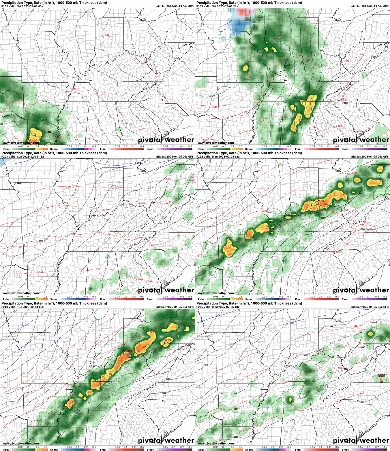
A fast moving southern system could clip the Bootheel and along the KY/TN border late tonight into Sunday night. For now, I have most of that precipitation staying south of us. I will keep an eye on it. Temperatures would be marginal for a rain or rain/wintry mix.
Another weak system shows up around Wednesday. The bulk of that precipitation should avoid our region, as well.
I am watching a stronger system next Thursday into the weekend. Perhaps two systems back to back.
For now, this looks to be rain. The Canadian model shows a wintry mix, but it is currently the outlier.
I will monitor trends. They are quite active.
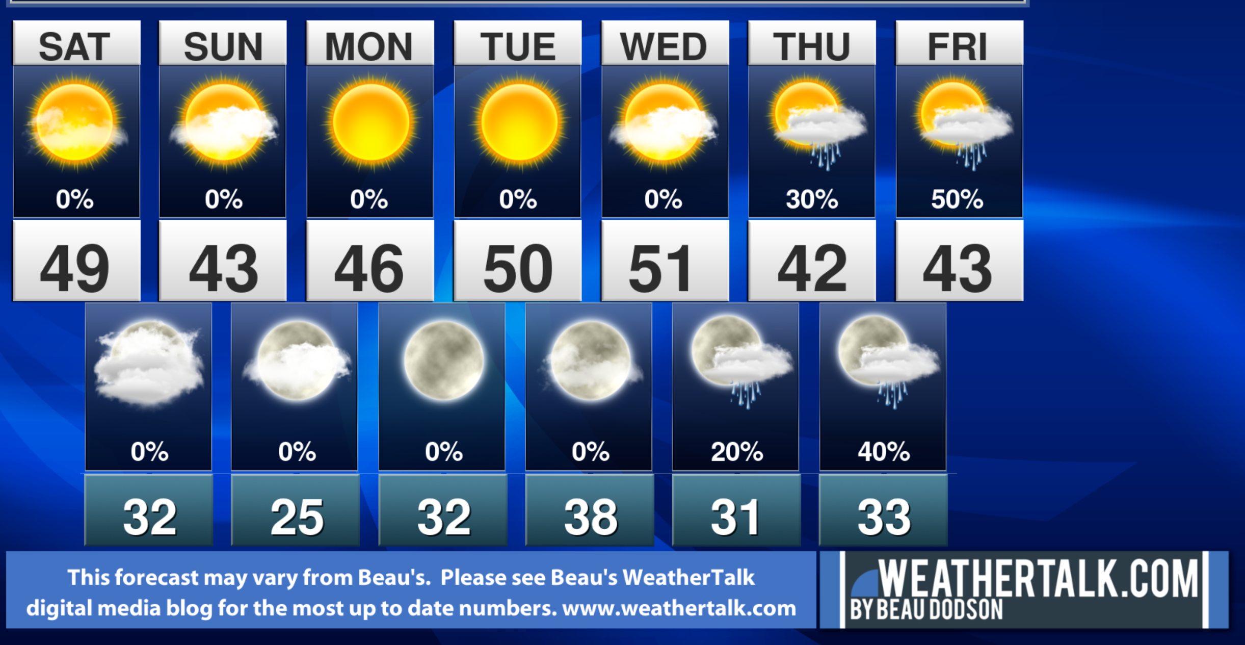
Temperatures today will rise into the forties! Cool on Sunday. Warmer Monday into Wednesday! Fifties return to the forecast. It has been a while.
Here is the GFS model showing the system late next week.
It brings rain into the region next Friday and Saturday.

The EC model shows a couple of back to back systems. That would be thunderstorms on the EC model.
It brings precipitation into the region Saturday and Sunday, then another event behind it.
Notes:
THE FORECAST WILL TO VARY FROM LOCATION TO LOCATION.
Scroll down to see your local forecast details.
Seven-day forecast for southeast Missouri, southern Illinois, western Kentucky, and western Tennessee.
This is a BLEND for the region. Scroll further down to see the region by region forecast.
Beau’s Seven Day Video Outlook
.
A quick glance. 48-hour forecast Graphics


We have a few sponsors that are helping cover new technology costs! Check them out.
Heating problems?
One Hour Heating and Air
Connected and Protected.
They Specialize in Audio, Video, Networking, Security, Cameras, Electrical, New Construction, Remodels, and retrofitting Jobs. Experience the future of smart living and unmatched security with Connected & Protected Solutions today.
Roof damage from recent storms?


