

.
I have some question-and-answer threads over on the Facebook page. Link to those threads CLICK HERE
Or email me at beaudodsonweather@gmail.com
.

🌪️ Seven-Day Tornado Outlook ⛈️
May 5th through May 11th
Current risk: There is no risk of tornadoes in the current seven-day forecast.
Current confidence level: High confidence in the forecast.
Comment:
.

Seven-Day Hazardous Weather Outlook
1. Is lightning in the forecast? LOW CHANCE. We will have a low chance of lightning Wednesday through Friday.
2. Are severe thunderstorms in the forecast? NO.
3. Is flash flooding in the forecast? NO.
4. Will non-thunderstorm winds top 40 mph? NO.
5. Will temperatures rise above 90 degrees? NO.
6. Will the heat index rise above 100 degrees? NO.
.
A quick forecast glance. Your 48-hour forecast Graphics


.

.


Forecast discussion.
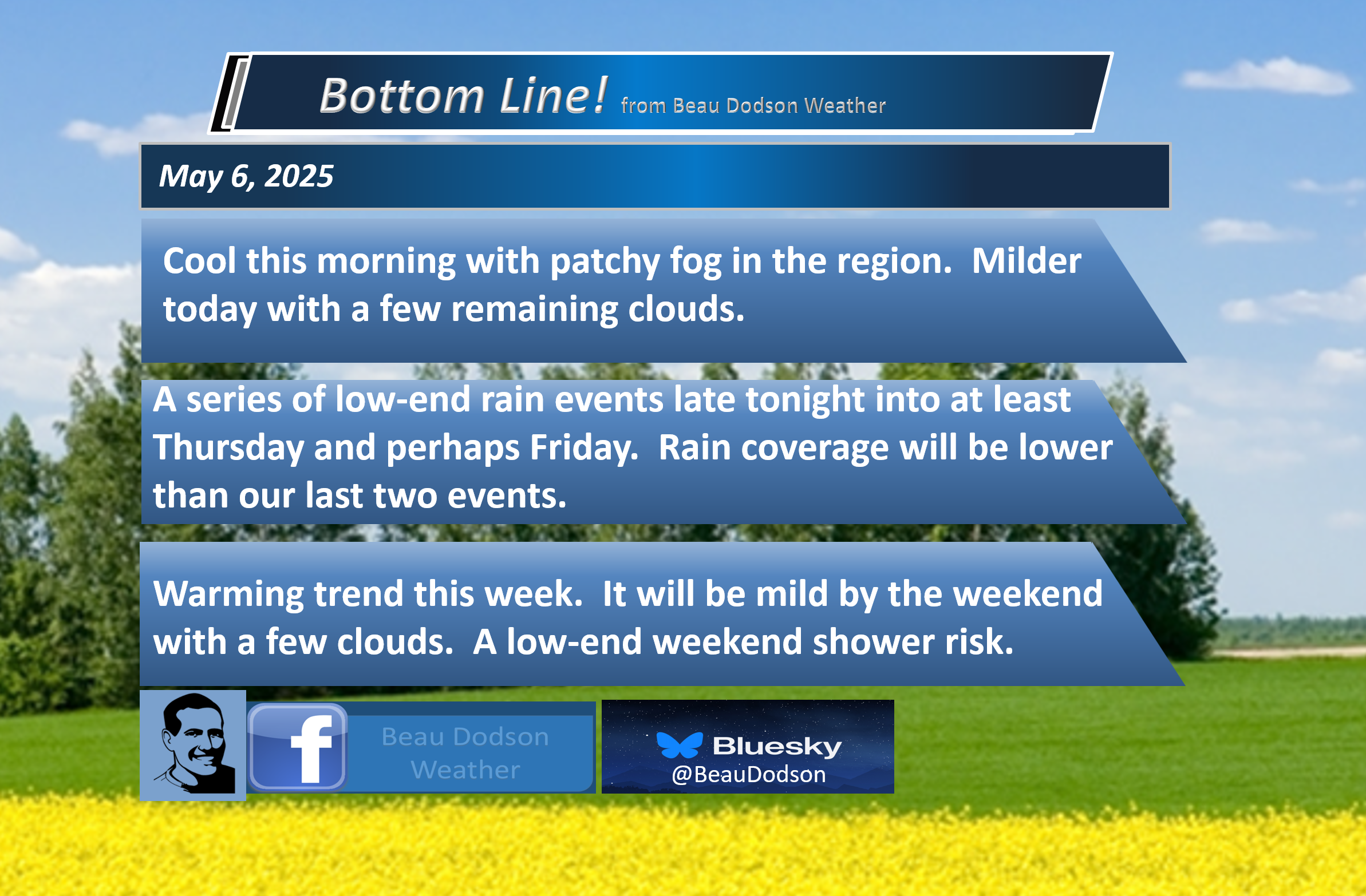
- Warming trend begins today. Finally.
- A mix of sun and clouds.
- Another chance of showers Wednesday through Friday. For now, these appear to be low-end chances.
- A sunnier weekend compared to last weekend. Warmer weekend, as well. Rain chances Friday through Sunday will likely remain on the low end of the scale. Upper-level lows can be tricky to forecast.
- We must watch Sunday and Monday as the upper-level low moves northward towards our region. If it speeds up a bit, then we would have to increase clouds and rain probabilities a bit more.
- I am hoping we finally have a “mostly” decent weekend.
.

.
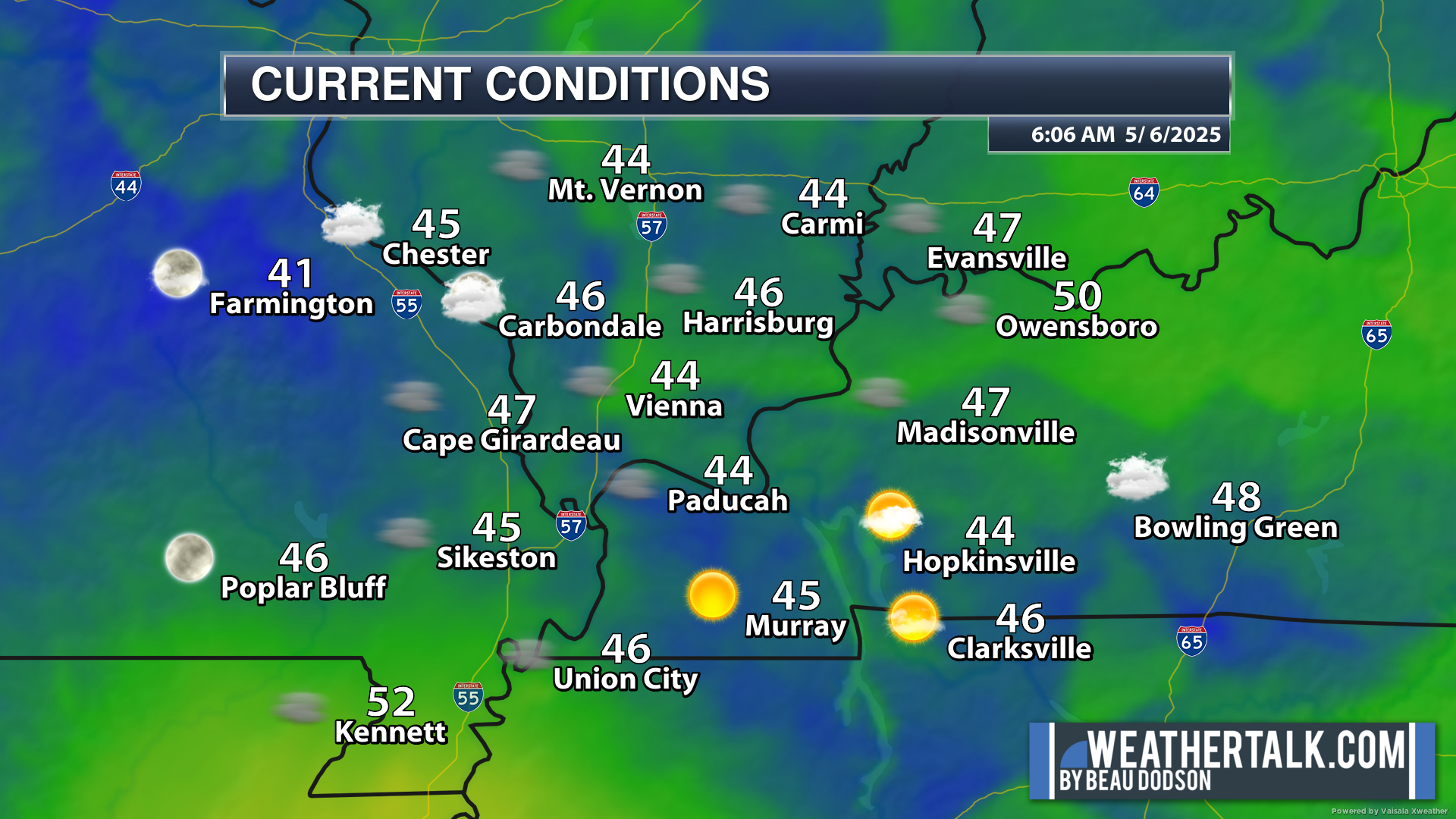
Good morning, everyone.
Brrr again this morning. Some locations were nearing the upper 30s over our northern counties.
Everyone at 6 AM was in the 40s. A few spots were in the low 50s.
.
Well, was yesterday chilly or what! Many reporting stations never hit the 60 mark. We were forecasting most areas to hit the low 60s.
Clouds lingered and even sprinkles. This shaved off a few degrees. A few places hit sixty to sixty-two. Many did not.
It has been a frustrating forecast dealing with this large upper-level low. It has been spinning over our region for days.
A cut-off low is a weatherman’s woe. So, they say. They are tricky and do cause forecast headaches.
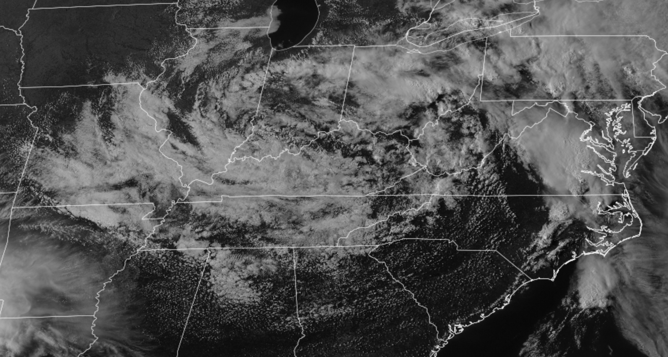
The good news is that the system is slowly moving away from our region.
Here is the system this morning. You can see it is now centered over Ohio.

.
Many of you are waking up to patchy dense fog and a mix of sun and clouds. With some luck, we will have a bit more sun today.
That will help temperatures warm a bit more. Nothing dramatic, but we will take what we can get.
7 AM satellite view. You can see the spinning upper-level low over the Ohio Valley. Slowly vivotting away.
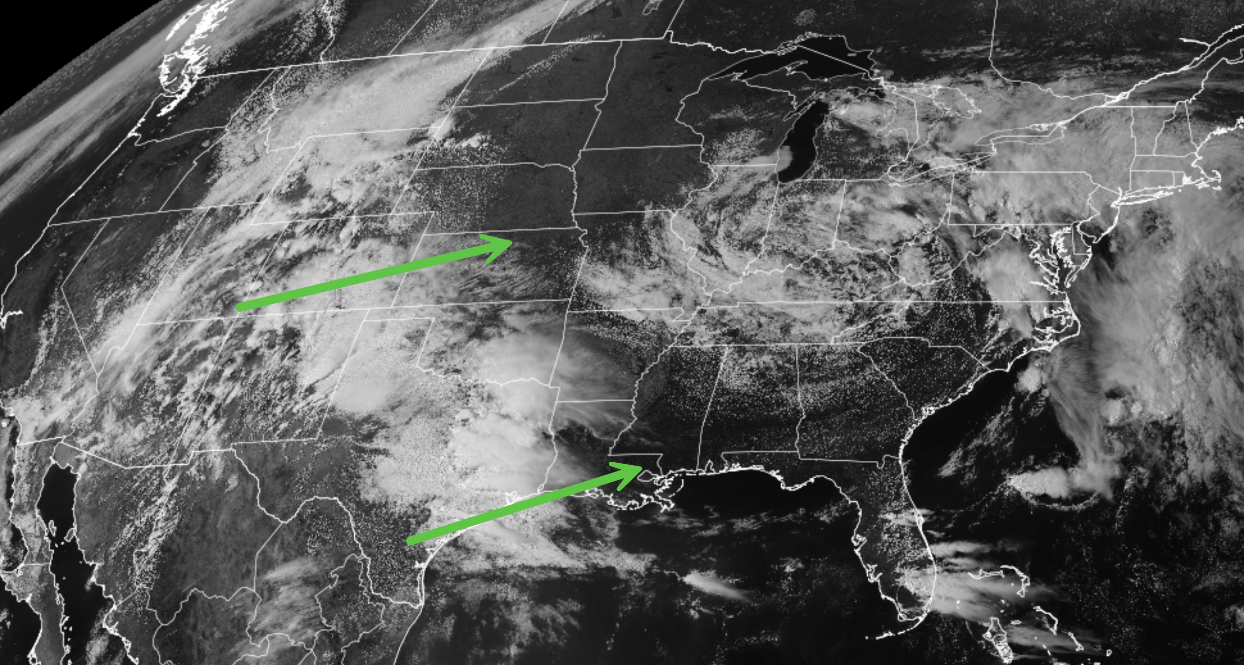
Unfortunately, our next system is already moving towards our region. This one will approach from the west southwest.
.
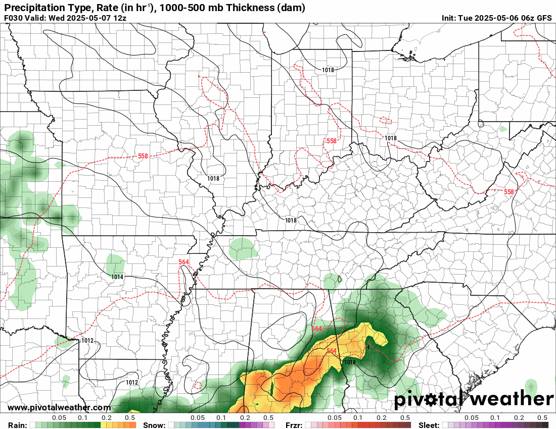
This system is not overly impressive in the rain department, at least not for our region. I have low-end shower chances starting late tonight and lingering until Thursday night or Friday.
Let’s hope it does not change; the Saturday and Sunday rain probabilities appear minimal. I will need to monitor Sunday, because the system to our south will be moving north northeast back into our region. This will bring a few more showers and clouds.
With some luck, it will hold off until Sunday night or Monday. Giving us a decent weekend with highs in the 70s.
Here is that system to our south on Sunday. Centered along the Gulf of Mexico.
And then you can see it over our region by Monday. You can see the large circle area. That is the upper level low.
 .
.
Again, the good news is that we do not expect severe thunderstorms this week! That is a huge win in May.
Any day without a tornado in May is a great day!
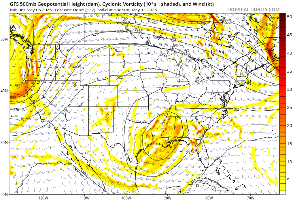
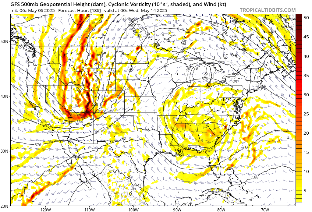
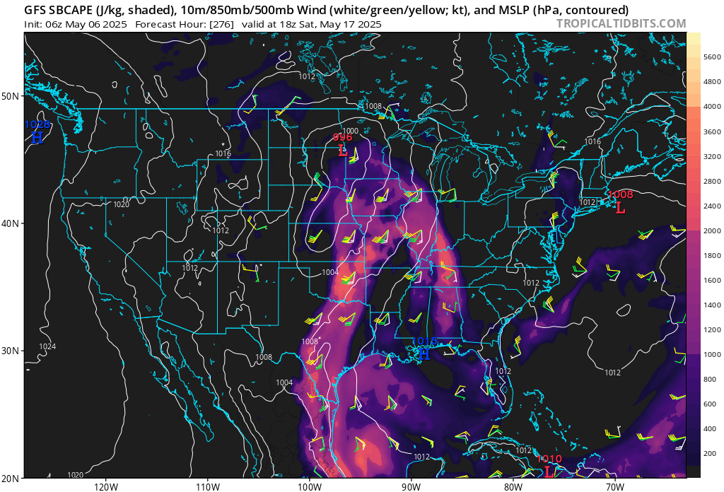
I am watching mid-May for stormier weather. Long way off and plenty of time to monitor that.
.

The timestamp (upper left) is in Zulu. 12z=7 am. 18z=1 pm. 00z=7 pm.
Double-click the animation to enlarge it.
GFS model.
.
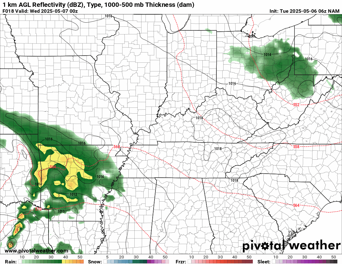
Here is the NAM model.
.
.
.
Click here if you would like to return to the top of the page.
.Average high temperatures for this time of the year are around 73 degrees.
Average low temperatures for this time of the year are around 52 degrees.
Average precipitation during this time period ranges from 1.00″ to 1.40″
Six to Ten Day Outlook.
Blue is below average. Red is above average. The no color zone represents equal chances.
Average highs for this time of the year are in the lower 60s. Average lows for this time of the year are in the lower 40s.

Green is above average precipitation. Yellow and brown favors below average precipitation. Average precipitation for this time of the year is around one inch per week.

.

Average low temperatures for this time of the year are around 55 degrees.
Average precipitation during this time period ranges from 1.20″ to 1.50″
.
Eight to Fourteen Day Outlook.
Blue is below average. Red is above average. The no color zone represents equal chances.

Green is above average precipitation. Yellow and brown favors below average precipitation. Average precipitation for this time of the year is around one inch per week.

.
.
.
We have a new service to complement your www.weathertalk.com subscription. This does NOT replace www.weathertalk.com It is simply another tool for you to receive severe weather information.
.


.

Radars and Lightning Data
Interactive-city-view radars. Clickable watches and warnings.
https://wtalk.co/B3XHASFZ
Old legacy radar site (some of you like it better)
https://weatherobservatory.com/weather-radar.htm
If the radar is not updating then try another one. If a radar does not appear to be refreshing then hit Ctrl F5. You may also try restarting your browser.
Backup radar site in case the above one is not working.
https://weathertalk.com/morani
Regional Radar
https://imagery.weathertalk.com/prx/RadarLoop.mp4
** NEW ** Zoom radar with chaser tracking abilities!
ZoomRadar
If the radar is not working, then email me: Email me at beaudodson@usawx.com
.
We do have some sponsors! Check them out.
Roof damage from recent storms? Link – Click here
INTEGRITY ROOFING AND EXTERIORS!
⛈️ Roof or gutter damage from recent storms? Today’s weather is sponsored by Integrity Roofing. Check out their website at this link https://www.ourintegritymatters.com/

![]()
![]()
![]()
Make sure you have three to five ways of receiving your severe weather information.
Weather Talk is one of those ways! Now, I have another product for you and your family.

.
Want to add more products to your Beau Dodson Weather App?
Receive daily videos, weather blog updates on normal weather days and severe weather and winter storm days, your county by county weather forecast, and more!
Here is how to do add those additional products to your app notification settings!
Here is a video on how to update your Beau Dodson Weather payment.
The app is for subscribers. Subscribe at www.weathertalk.com/welcome then go to your app store and search for WeatherTalk
Subscribers, PLEASE USE THE APP. ATT and Verizon are not reliable during severe weather. They are delaying text messages.
The app is under WeatherTalk in the app store.

Apple users click here

Android users click here
.
Radars and Lightning Data
Interactive-city-view radars. Clickable watches and warnings.
https://wtalk.co/B3XHASFZ
Old legacy radar site (some of you like it better)
https://weatherobservatory.com/weather-radar.htm
If the radar is not updating then try another one. If a radar does not appear to be refreshing then hit Ctrl F5. You may also try restarting your browser.
Backup radar site in case the above one is not working.
https://weathertalk.com/morani
Regional Radar
https://imagery.weathertalk.com/prx/RadarLoop.mp4
** NEW ** Zoom radar with chaser tracking abilities!
ZoomRadar
Lightning Data (zoom in and out of your local area)
https://wtalk.co/WJ3SN5UZ
Not working? Email me at beaudodson@usawx.com
National map of weather watches and warnings. Click here.
Storm Prediction Center. Click here.
Weather Prediction Center. Click here.
.

Live lightning data: Click here.
Real time lightning data (another one) https://map.blitzortung.org/#5.02/37.95/-86.99
Our new Zoom radar with storm chases
.
.

Interactive GOES R satellite. Track clouds. Click here.
GOES 16 slider tool. Click here.
College of DuPage satellites. Click here
.

Here are the latest local river stage forecast numbers Click Here.
Here are the latest lake stage forecast numbers for Kentucky Lake and Lake Barkley Click Here.
.
.
Find Beau on Facebook! Click the banner.


 .
.